
Island of Cyprus


As of April 10th 2025, the only parts of the island with Street View coverage are the British overseas territories of Akrotiri and Dhekelia, on the southern coast of the island.

All coverage on the island was taken with a Generation 4 “smallcam”, which is mounted lower than regular Generation 4 and has a relatively big circular blur with a small protrusion at the front. The blur can also be fully transparent, with a short antenna sometimes visible on the back.
NOTE: Greece also has a significant amount of smallcam coverage.

Bollards are superficially similar to Turkish bollards, with a red reflector at the front and a white one at the back. However, unlike Turkish bollards, they are not flat but rather triangular, with a slanted top.
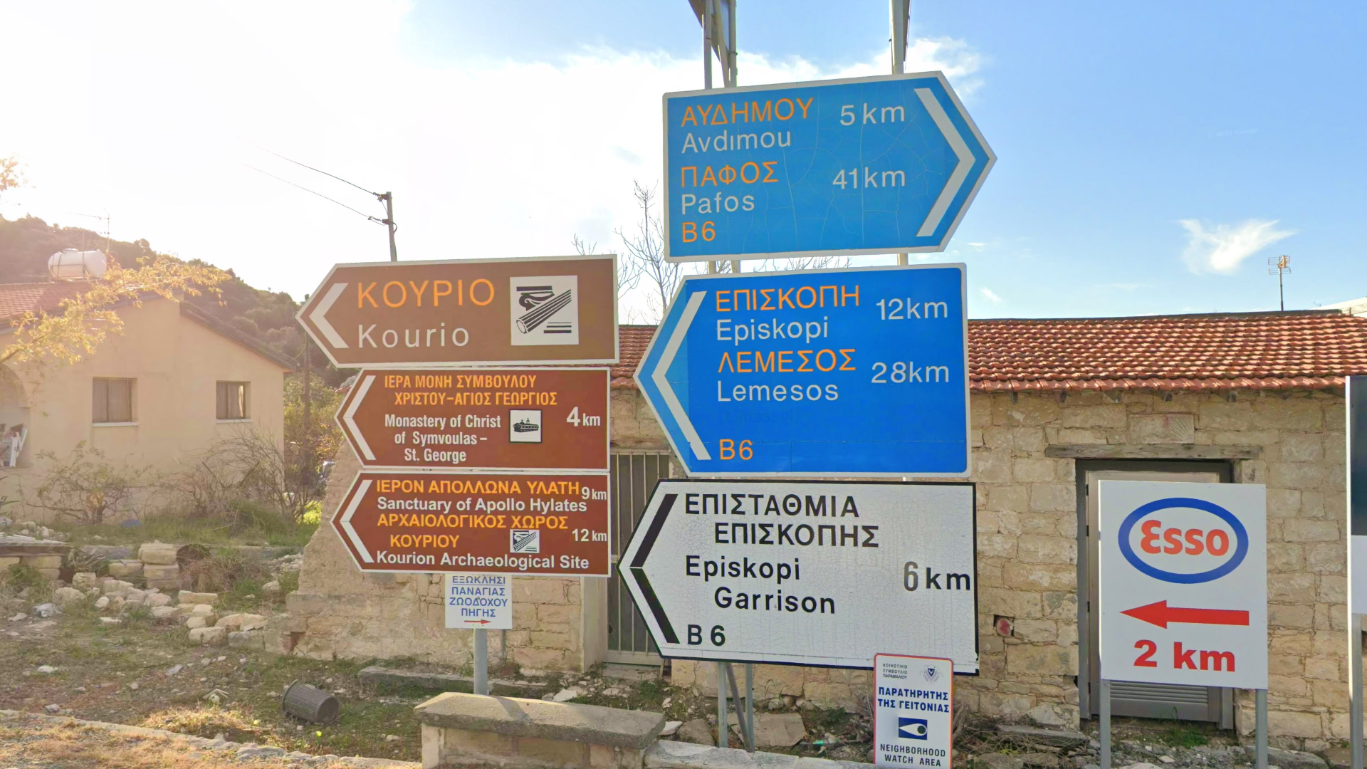
Directional signs are very similar to Greek directional signs, with the one notable difference being that the Greek text is written in all-caps.

Town entry signs consist of a yellow rectangle with a red border. The sign also contains a speed limit sign and within a smaller white rectangle, the town name, which is written in Greek and English.

Utility poles are primarily wooden, will typically appear quite tall and have a distinctly dark brown colour.
NOTE: All of these features are shared with Greek utility poles.

Poles commonly have one of two poletops. The first consists of a crossbar with three insulators on top and the second consists of five insulators attached directly to the side of the pole.
NOTE: Both of these are also commonly found in Greece.

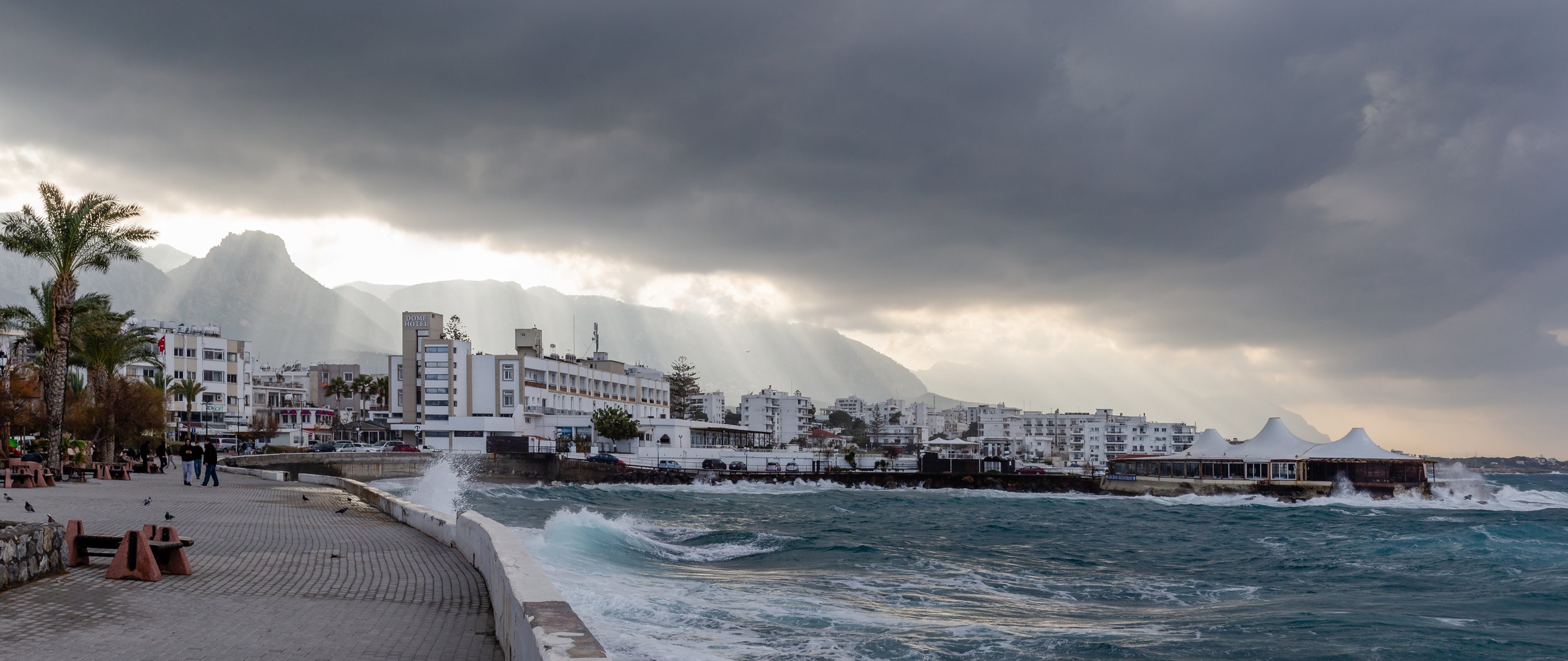
Most buildings are made of brightly painted stone, with either a tiled or a flat roof.
NOTE: These features are also common in Greek architecture.

The island has a Mediterranean landscape, with bright exposed rock, olive trees and green coastal farmland. The covered area is generally quite hilly, but not mountainous.