

Australia


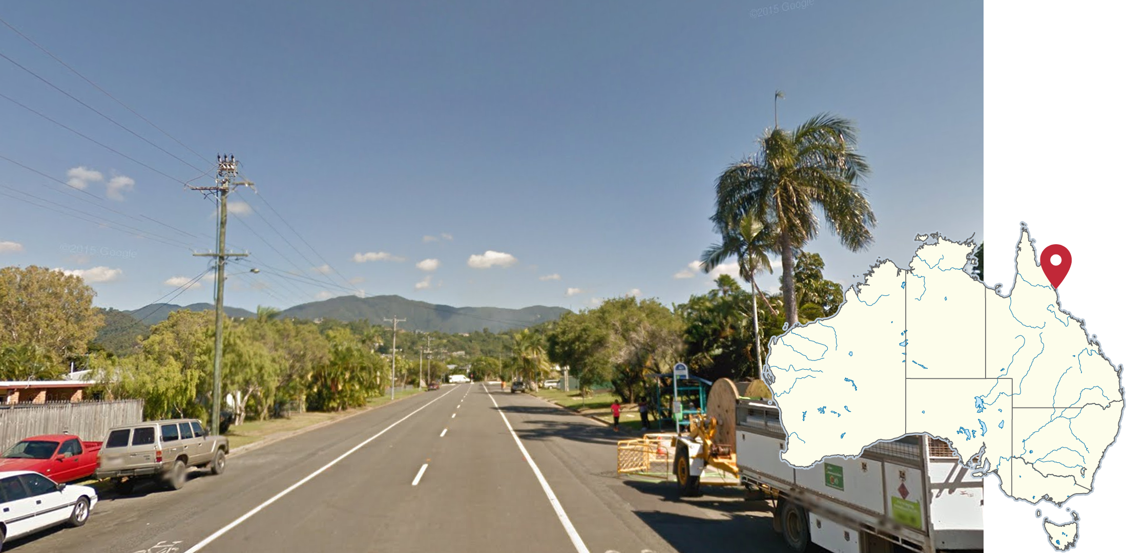
Gum trees (eucalyptus) are by far the most common type of tree in Australia. Their bark is typically light-coloured, with puffy puffy clusters of leaves.
NOTE: Their look may vary significantly, depending on your location within the country. More details can be found in the region-guessing section.

Australian bollards are white, with a red reflector on the front, and a grey reflector on the back.
NOTE: New Zealand uses a bollard where the red reflector wraps around the back, meaning the reflector goes from end to end while the Australian one stops in the middle.

Australia drives on the left.
NOTE: A handful of other countries also drive on the left. See this infographic for more information.
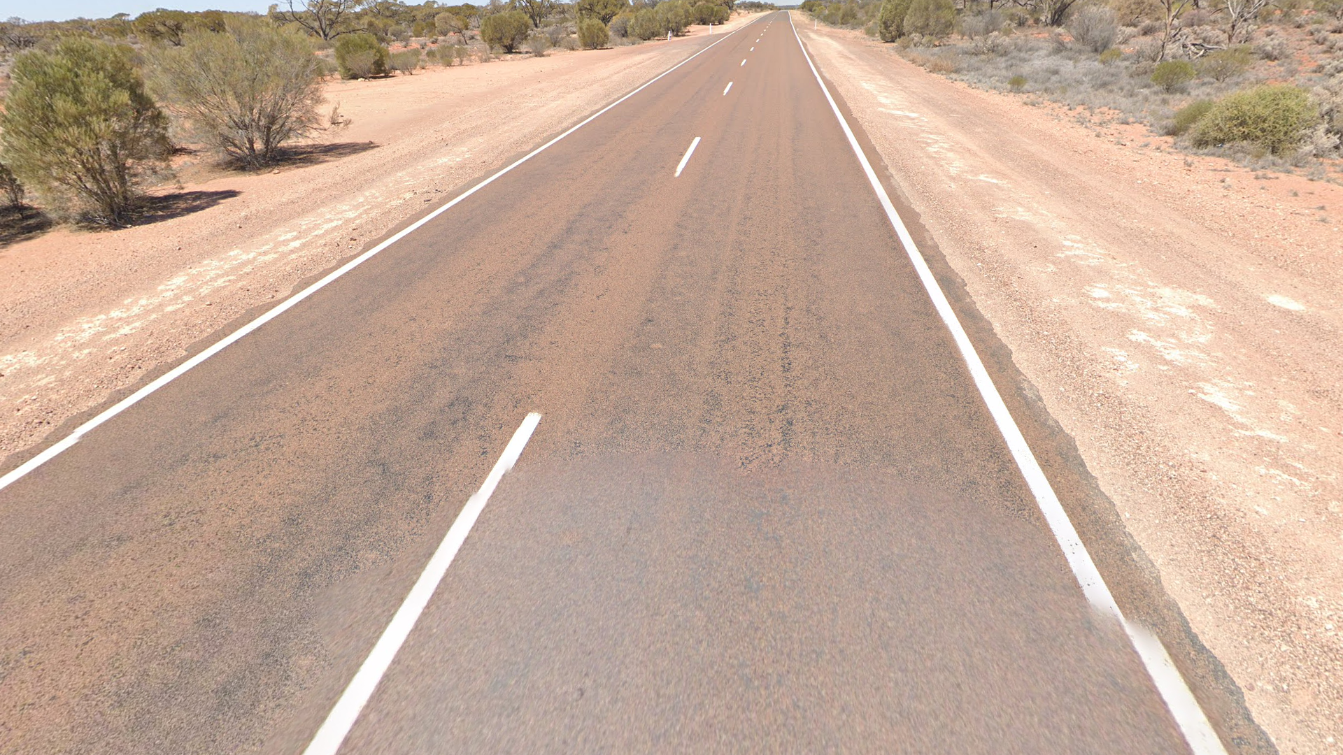
Australia uses almost exclusively white road lines, with a few rare exceptions in alpine regions such as Mount Kosciuszko and Mount Hotham.
NOTE: If you are considering guessing in Australia, but see yellow outside lines or a yellow middle line, you will probably be in South Africa or New Zealand respectively. Note that New Zealand can have all white road lines as well.

Outside lines in Australia sometimes feature rumble strips that look like small white stripes perpendicular to the road line.
NOTE: Northern Territory roads very rarely have rumble strips.
In addition, you can find similar rumble strips in New Zealand.

Give-way signs in Australia have a white border and black text.
NOTE: New Zealand’s give-way signs use red, instead of black, text. Give-way signs are very rarely seen in South Africa.
Australia uses white on black and black on yellow chevrons.

Green signs with white arrows on either side can be seen at intersections which show nearby towns or cities. A number indicating the number of kilometres away the town can sometimes be seen.

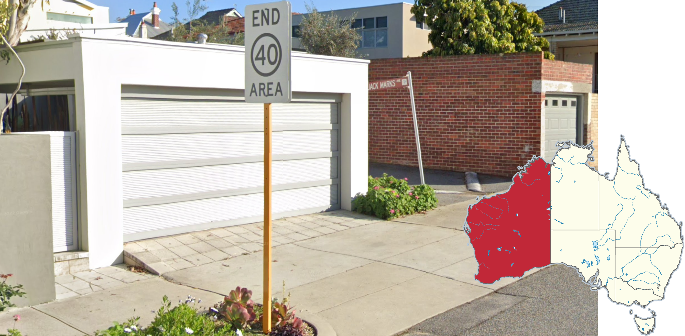
Australian speed limit signs have black text in a red circle on a large white rectangle.
NOTE: New Zealand speed limit signs normally do not have the white rectangular background.

A long antenna can be seen in Generation 3 coverage.

Different states use different licence plate designs, which can be somewhat visible through the blur.

Australian phone numbers are 8 digits with a 2-digit area code in front. A map of these by state can be seen here. Keep in mind, not all phone numbers will include an area code in front of it.

Each state has a unique bus stop design. These are quite common in urban rounds, so are worth learning. Darwin bus stops are usually concrete shelters.
NOTE: The designs may vary slightly, but should still be recognisable. There are multiple versions of Tasmanian bus stops, but most of them should have the word ‘metro’ on it.
You can click on the image to enlarge it.
Infrastructure

The iconic Stobie pole, made of steel and concrete, is specific to South Australia. The pole tops (trident or rotated letter “E”) are also unique.
NOTE: A few thousand of these poles can be found in other states, most notably Tasmania.

These rusty metal poles, containing several holes, are unique to the Northern Territory.
NOTE: These poles can also sometimes be found in some areas of northern WA, such as Wyndham.

According to a 2006 review, 64% of all concrete poles are located in the state of Victoria.

A trident-like pole top can sometimes be seen in Western Australia and Victoria.

Queensland features these unique pole tops with coils that are angled upwards on the sides.

Victorian pole tops feature 3 circular coils; 2 on the sides, and 1 vertical one at the top. At times, other extensions can be seen on these poles.

Poletops in Tasmania often consist of a thin metal crossbar bent 90 degrees to form an L-shape.
NOTE: Regular Australian crossbars are usually made out of wood.

Circular blue stickers can be found on Queensland poles. You may occasionally see the same type of sticker in a different colour, or with the colour almost completely faded.
NOTE: Blue stickers can also be found on French poles.

These black markings are specific to electricity poles in Queensland. They are often accompanied by diagonal numbers.

Olive-green possum guards are only found on electricity poles in Tasmania.
NOTE: Possum guards are found all over Australia. The colour is what distinguishes them.

Poles in Western Australia often have green painted bases, and sometimes a white sticker or a red and white band attached.

Reflectors that are shorter in height than the regular ones are most common in Queensland and South Australia.
NOTE: Short reflectors can be found in every state, but are much less common outside of QLD and SA.

Bollards with brown paint at the bottom are most commonly found in Western Australia.
NOTE: Brown paint at the bottom of exposed bollards can also rarely be seen in other states, however the brown section will not be as large.

These black-and-white stripy bollards are unique to Western Australia.

This black-and-yellow bollard is exclusive to Queensland.
Yellow signposts are specific to Western Australia.
NOTE: Although South Australia does not use yellow signposts for regular road signs, SA bus stops will have yellow posts.

Some signposts in South Australia and Western Australia are flat rather than round.
NOTE: These signposts are usually yellow in Western Australia.

Signposts in the Northern Territory can feature these yellow stickers.

Road signs with a fluorescent border are almost exclusively found in Queensland.

New South Wales is the only state to use red ‘No Stopping’ signs.
NOTE: All other states use white versions.

The white ‘No Stopping’ and ‘No Parking’ signs that include text are unique to the Australian Capital Territory.

White directional signs can only be found in Tasmania.

Roads that start with the letter ‘C’ are only found in Victoria and Tasmania. In addition, South Australia has some C roads near the border with Victoria.
NOTE: Since these are smaller and less major roads, Generation 1 or 2 is common.

South Australia is the only Australian state that uses a 25 speed limit in school zones.

Within Australia, a speed limit of 130 km/h can only be found in the Northern Territory.

Some ‘Keep Left’ signs in New South Wales, Queensland, and the Northern Territory use this thinner version, which does not include an arrow.
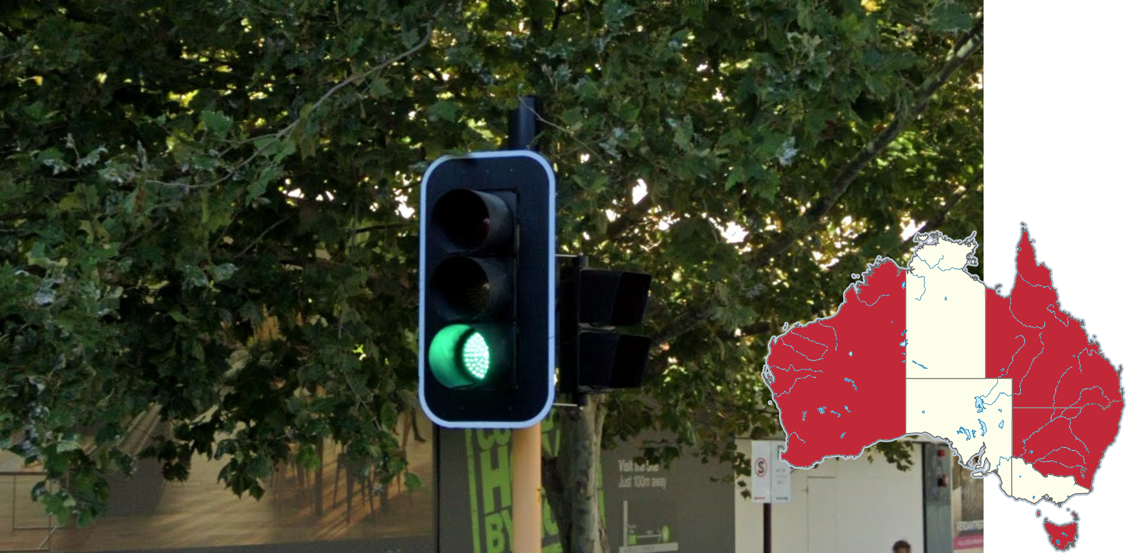
Traffic lights with a white outline around the frame are found in the eastern and western states of WA, QLD, NSW, ACT and Tas. Traffic lights without a border are found in the remaining, central states.

You can find these dark green property markers on the sides of roads in Western Australia.

You can find these white property markers on the sides of roads in South Australia.

This guardrail ending, featuring a black dash on a yellow background, is almost exclusive to New South Wales and the ACT.

You can find these white hydrant poles that feature a blue circle and a red section on top of it in Victoria.

These fire hydrants with red painted tops are unique to Victoria.
Landscape

Western Australia, and especially the Perth area, is known for its reddish-orange soil.
NOTE: Although this is very useful, there are numerous areas in WA with light soil, and conversely there are areas in other states with reddish-orange soil.

These brush plants are commonly seen in Western Australia.

The vegetation in the area surrounding Darwin is extremely distinct. It features dark red soil, as well as rich green grass and trees. The tree trunks are typically black.

Termite mounds can sometimes be seen in the Northern Territory and rarely northern WA and QLD. They appear as brown, spiky formations rising out of the ground.

The area around Warramboo in SA to Madura in WA has a unique landscape. Vegetation is quite dry and is made up of shrubs and wide crowned eucalyptus. In addition, the soil is sandy with a slight orange tint.
The dry area east of Adelaide and into northwestern Victoria has a similar landscape, with the same vegetation but usually with whiter soil.
NOTE: The soil gets more red in the WA side. Redder soil can also be seen more inland on the Victorian side around Mildura. In addition, the Nullarbor Highway has a distinct landscape.

Lush green or golden fields can be found in this band from the south of the Yorke Peninsula to Echuca. In the SA side, the landscape should be drier than the Victorian side and more wide crowned eucalyptus can be seen. On the Victorian side, the trees generally have more leaves and are taller.
NOTE: The area near Mount Gambier has a distinct landscape. For more information, see below.

Coastal northern Queensland is very tropical. Typical vegetation consists of palm trees and dark green vegetation.

Sugarcane plantations are very common in Northern Queensland, due to its tropical climate.
NOTE: Sugarcane plantations can be seen as far south as northern NSW, however are most commonly found in northern Queensland. For a detailed overview, see this map.
The landscape in inland NSW is mostly flat, and the soil gets redder the more inland you go. Vegetation consists of mostly dry pale-green shrubs. Further east and on the Queensland and Victorian borders, the climate gets more temperate but is still quite dry and more eucalyptus trees can be seen, with the soil transitioning into a more sandy colour as well as more hills being visible.

Tasmania has a cool temperate climate which is uncommon in the rest of Australia and is comparable to central-southern Chile or New Zealand. Typical landscape consists of green rolling hills that can look dry in winter coverage. Eucalyptus trees can be seen on the side of roads and on hills in the distance. Rural Tasmania is also quite hilly with dense eucalyptus forests making up the landscape.
NOTE: Certain areas of Victoria can look similar so make sure to look for other clues.
Miscellaneous

Generation 2 cannot be found in the Northern Territory.

Australia is home to dozens of rare Google cars, which can usually be found in natural reserves.
Most rare Google cars with snorkels are located in New South Wales and the Australian Capital Territory. The snorkels are dark grey or black extensions to the side of the car, to keep the engine dry when submerged in water.
NOTE: The only snorkels outside NSW and ACT are found on two cars in Western Australia (1 and 2).
GeoHints has a complete overview of all rare cars, which can be found on this page.

For country streak purposes, Christmas Island and Cocos (Keeling) Islands are counted as part of Australia. For example, clicking Australia on Christmas Island counts as a country streak.
These islands have unique cars which makes them easily identifiable.
Plonk It has a more in-depth guide to Christmas Island here.
Plonk It has a more in-depth guide to Cocos (Keeling) Islands here.

The area around Tom Price can be recognized by its red soil, Generation 2 camera and rocky hills.

Alice Springs, an isolated town in the southern part of the Northern Territory, features distinct orange rocks that can be seen in the distance or at the end of roads.
The northern QLD city of Cairns is distinct due to its tropical vegetation and big green mountains around the city.
NOTE: To differentiate Cairns from other northern Queensland towns, Cairns has many high rise buildings and should feel quite urban. Divided roads are also common in downtown Cairns, and only commonly seen in Mackay further south, where it is less tropical and more flat.

The area around Mount Gambier, SA features white soil and extensive pine tree plantations, making it recognisable.

Kangaroo Island in South Australia tends to have a distinct look. The vegetation mostly consists of bushes and low, stubby eucalyptus trees with puffy clusters of leaves. The orange soil colour is reminiscent of Western Australia.
In addition, the island only has Generation 2 and Generation 4 coverage.

The Nullarbor Highway (Latin for “no tree”) can be easily recognized thanks to the flatness, overall grey look and very low vegetation.
NOTE: Use the road angle or road lines to determine whether you are on the WA or SA side.

On most of the Northern Territory section of the Barkly Highway and a small part of the Queensland section, a wire can be seen on the left side of the car.

Dorat Road (23) in the Northern Territory can be easily recognized thanks to its distinct Darwin area landscape and lack of road lines.

The Sturt Highway from Wentworth to Wagga Wagga can have triple broken centre lines.
NOTE: Triple broken centre lines can also be found on other major roads in NSW, such as the Gwydir Highway. However, they are most common on the Sturt Highway.

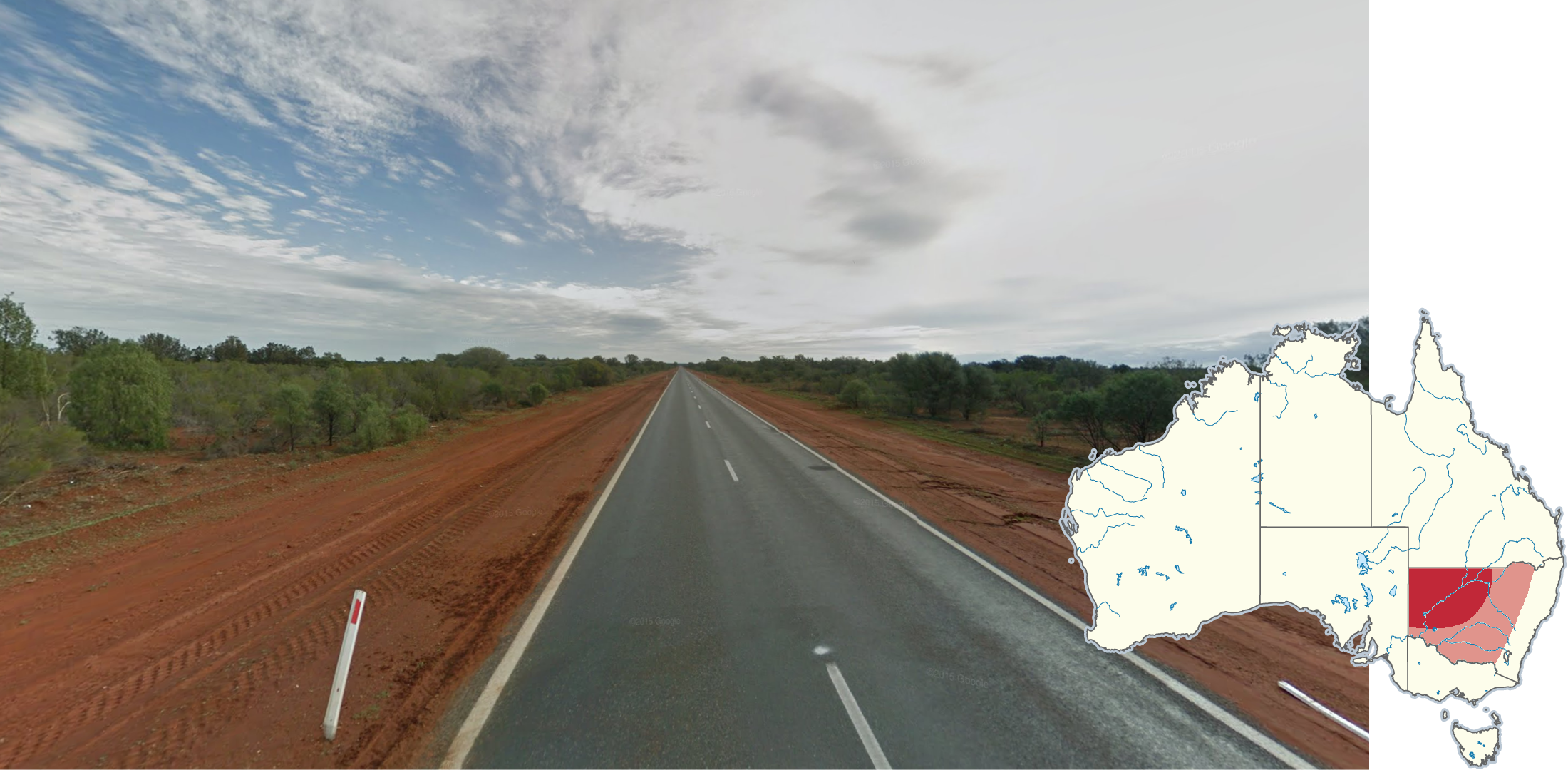
The Stuart Highway from Alice Springs to around Pimba, SA can be easily recognized by its bright orange dirt, short trees and blue car Generation 4.
NOTE: Use the road angle and whether there are rumble strips to determine whether you are in NT or SA. Rumble strips are much rarer on the NT side.

You can sometimes see sloped kerbs in Perth, where it gradually declines to the road, whilst in other cities kerbs go straight down at a 90 degree angle.

Melbourne poles commonly feature these white, rectangular stickers, with a smaller blue square inside it.

All-yellow road lines can be seen on roads around Mount Kosciuszko.
In addition, a unique white truck with a snorkel, and cab guard can be found.
NOTE: All yellow road lines can also be found in other alpine areas in Victoria and New South Wales, so make sure to look at the landscape and other clues.
South Australian style Stobie poles can sometimes be found in the NSW town of Broken Hill.

This street sign is unique to Brisbane City Council.

This street sign is unique to Gold Coast City Council.

This street sign is unique to the City of Sydney.
GeoGuessr’s own official Australia map is not very good, for a variety of reasons. Plonk It recommends the following map instead:
A Balanced Australia (map link) - Well balanced, computer generated map with 80k+ locations across Australia and some select few in Cocos and Christmas Island. Used for the Australia record categories on the official Plonk It leaderboard.
In addition, here are some resources to help you practise Australia:
Plonk It Australia (map link) - This map contains locations for practising each meta in the Plonk It Australia guide from step 2 to 3.