
Antarctica
Most of Antarctica is covered in snow and ice.

The soil will always be dark.
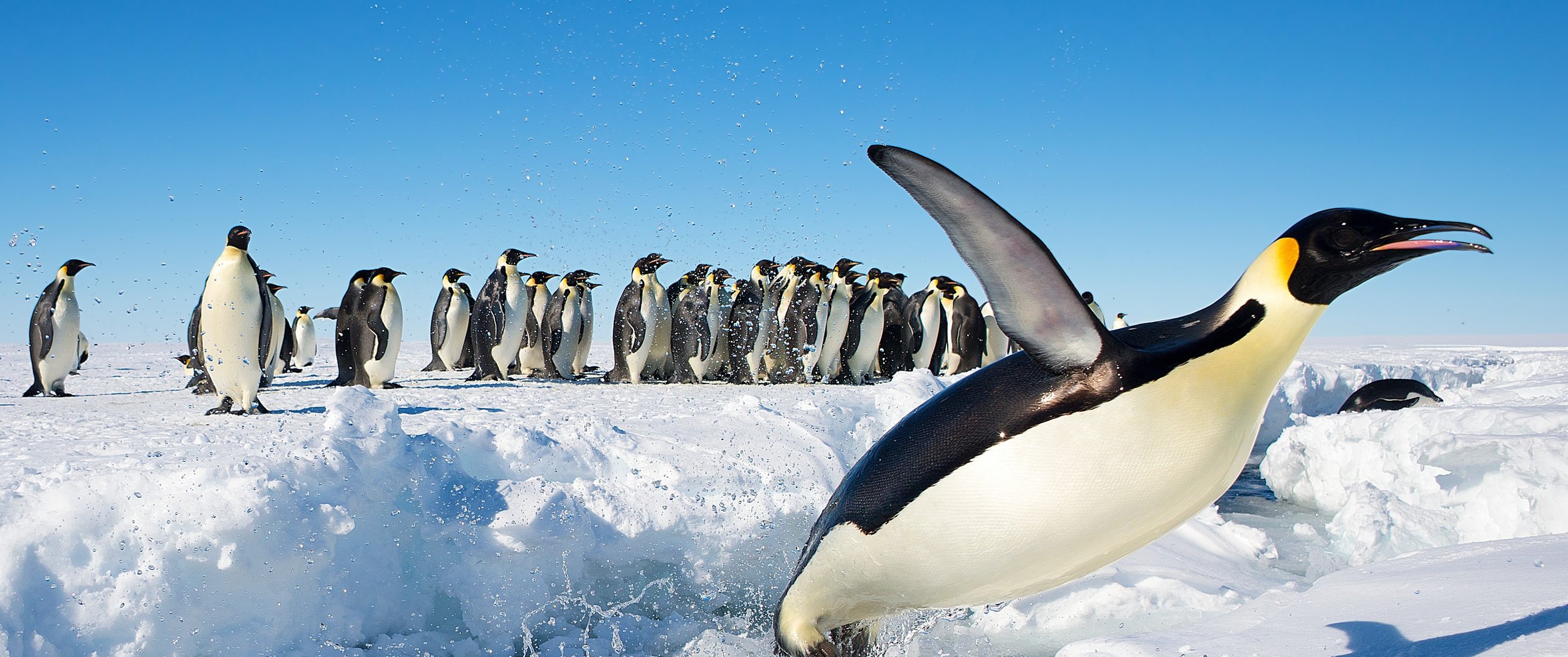
Penguins can be found on parts of the coverage.
NOTE: This is mostly useful to exclude coverage in the Arctics.

Half Moon Island was covered by a tripod. It can also be recognized by the numerous other people in red jackets.

The Deception Island Bay can be recognized by the blue and white ship in the bay, and the abandoned equipment on the beach.

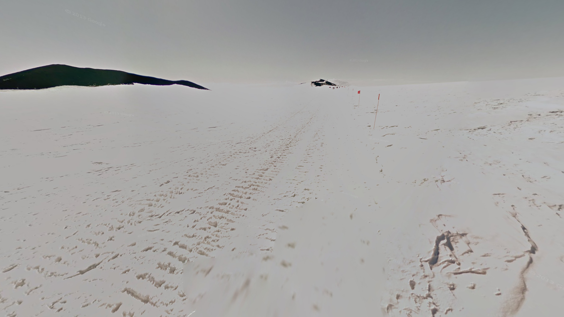
The trekker can be seen walking in a line on Deception Island.

A beach with black sand and many penguins can be seen on Deception Island.

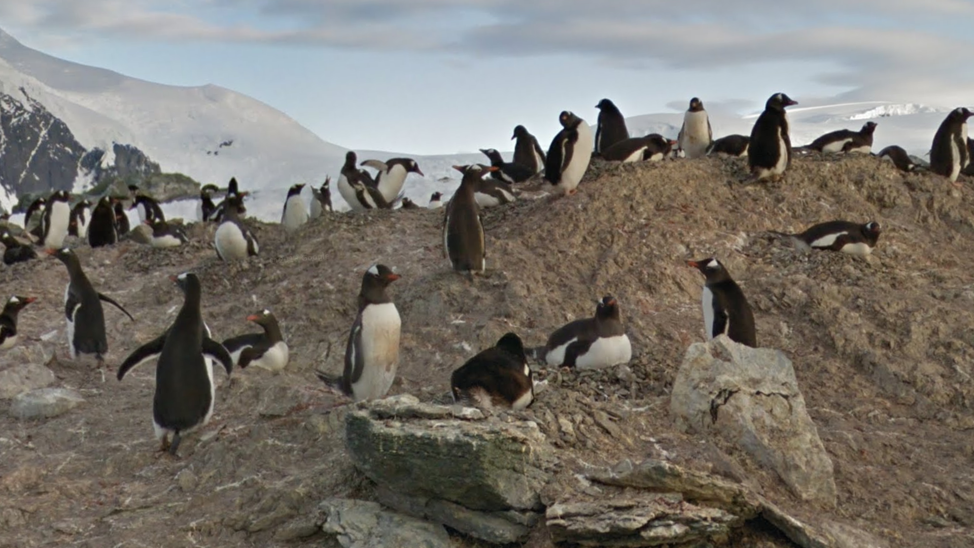
Cuverville Island can be recognised by the overcast weather combined with the coastline to the northwest. You’ll also see a decent number of penguins, particularly toward the east.

Danco Island can be recognised by the beautiful sunset coverage over a snowy fjord.

Petermann Island can be recognized by the layer of snow with patches of exposed rocks, and the overexposed camera.

The coverage at the western tip of Ross Island can typically be recognised by the extremely dark, and mostly barren, rocky soil.

A tripod featuring the exterior and interior of a small wooden cabin with a grey metal roof can be found south of the eastern tip of Ross Island.

McMurdo Station is the largest research station on Antarctica, and can be recognized by the dark brown soil, many buildings, American infrastructure and sunset coverage.
NOTE: A lot of the coverage around McMurdo Station has the sun setting in the south, which shouldn’t lead you to guess in the northern hemisphere.


On the eastern side of McMurdo Station you can find a small wooden cabin, having a tripod going inside.

Southeast of McMurdo station, the trekker can be seen walking on a layer of ice around various machinery.

The trekker can be seen walking through a fantastical landscape consisting of many desolate valleys on mainland Antarctica, west of Ross Island.

A vast, snowy landscape with spread out hills can be seen south of McMurdo station.

The tripod at the south pole can be recognized by numerous countries’ flags around the tripod, and a sign with ‘Geographic South Pole’ written on it.
This location is often on community-made world maps for a better scoring range.

The South Pole Observatory has tripod coverage going around and inside of it.